Lidar
Acquisition and Processing
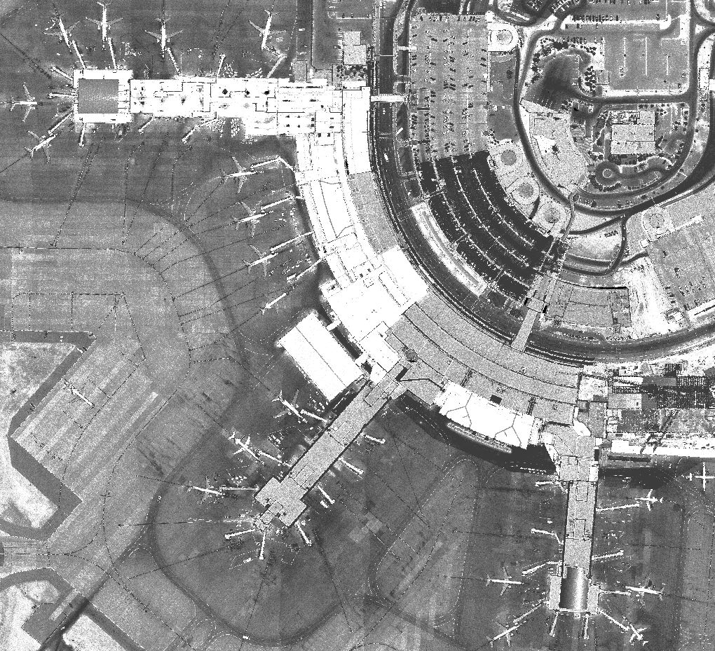
Light Detection And Ranging uses the same principle as RADAR. You transmit a beam of light to a target (the ground) and measure the time it takes for the beam to echo back. You calculate Range from the result. LiDAR differs from RADAR mainly in its ability to resolve very small targets and penetrate vegetation.
DigitalWorld combines LiDAR, GPS and INS in an airborne data acquisition system that can produce highly accurate post-processed terrain models for a multitude of applications.

